How Geofencing Navigation Is Transforming Location-Based Services
Geofencing navigation is changing the way people use navigation apps. By drawing virtual boundaries around real locations, geofencing navigation allows apps to react instantly when someone enters or leaves a certain area. This method is making navigation tools more useful for drivers, businesses, and anyone who depends on accurate location-based information.
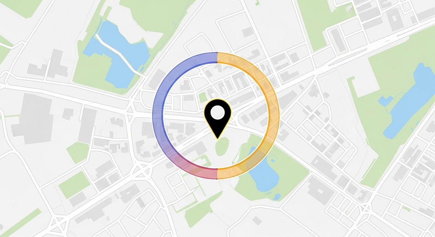
What Is Geofencing Navigation?
Geofencing navigation relies on GPS, Wi-Fi, or mobile networks to create invisible lines around a specific spot on a map. When a person crosses one of these boundaries, the app can send a message, update directions, or trigger another action. This makes the connection between digital maps and the physical world more direct and practical.
For example, it can alert a driver when they are about to enter a school zone, remind a delivery driver when they are close to a customer’s address, or send a notification when someone arrives at a store. The technology behind geofencing navigation is flexible, allowing developers to set up different types of zones and actions based on real-world needs.
Where Geofencing Navigation Is Used
Geofencing is showing up in many parts of daily life:
- Retail and Marketing: Stores use geofencing to send deals or coupons when customers are nearby or inside the shop.
- Logistics: Delivery and transport companies use geofencing navigation to track vehicles as they enter or leave warehouses, making it easier to manage routes and schedules.
- Public Safety: Emergency services use geofencing to send alerts to people in certain areas, such as during weather events or road closures.
- Tourism: Travelers can get information about landmarks, events, or local businesses as they move through a city, all thanks to geofencing.
- Smart Mobility: Some vehicles automatically switch to electric mode when entering certain city zones, guided by geofencing.
Benefits of Geofencing Navigation
Geofencing brings several benefits to both users and businesses. It helps apps deliver timely, relevant information, making navigation more interactive and personal. For businesses, geofencing navigation creates new ways to connect with customers, such as sending targeted offers or reminders. For drivers, it can provide alerts about traffic, speed limits, or road hazards, making travel safer and less stressful.
Geofencing also supports better planning and efficiency. Delivery services can track when vehicles arrive or depart from specific locations, aiding in scheduling and minimizing delays. Event organizers can use geofencing navigation to manage crowd flow or send updates to attendees as they move around a venue. If you’re interested in how specialized devices can support these features, take a look at our overview of SPT device features, where we explain how geofencing works in real-world navigation tools.
挑战和考虑
While geofencing has many strengths, it also brings some challenges. The accuracy of geofencing depends on the quality of GPS and network signals, which can vary in different places. In dense urban areas or indoors, signals may be weak or blocked, which can affect how well geofencing navigation works.
Privacy is another important issue. Since geofencing often involves tracking a user’s location, clear data policies and user consent are necessary. People want to know how their location data is used and stored. Battery life is another factor to keep in mind, as continuous location tracking can drain a device faster than usual.
The Future of Geofencing Navigation
Looking ahead, geofencing navigation is expected to become even more accurate and useful. Advances in sensors and smarter software will allow geofencing navigation to create more detailed and flexible boundaries. For example, future geofencing navigation could react not just to entering or leaving a zone, but also to how long someone stays there or what time of day it is.
Integration with smart devices and the Internet of Things (IoT) will open new possibilities for geofencing navigation. Imagine your home lights turning on when you are a block away, or your car adjusting its settings as you approach a certain area. Developers are also working on dynamic geofencing navigation, where zones can change shape or size based on real-time data, such as traffic or weather.
As geofencing becomes more common, it will play a bigger part in smart cities, connected vehicles, and personal travel planning. The ability to deliver location-based services in real time will keep changing how people interact with their surroundings.
结论
Geofencing is making location-based services more practical and responsive. With geofencing navigation, users can expect their navigation apps to provide more helpful alerts and information, tailored to where they are and what they need at that moment. As technology continues to improve, geofencing will unlock new ways to make travel safer, more efficient, and more connected to the world around us.