The Hidden Features of the SPT: A Technical Dive into Real-Time Traffic Data Collection
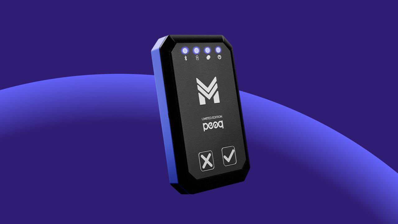
In an era where real-time data drives critical decision-making processes, having accurate, up-to-the-minute traffic data is no longer just a luxury; it’s a necessity. The Special Position Tracker (SPT) is a hardware device designed not only to provide real-time traffic data but also to ensure that this data is collected, transmitted, and stored with industry-leading accuracy and security. While the average user might appreciate its seamless integration with an app, the true power of the SPT lies in its hidden, technical features.
は SPT goes far beyond standard GPS tracking devices by leveraging Bluetooth, Wi-Fi scanning, third-party data integration, and advanced encryption to provide a 360-degree view of live traffic conditions, all while safeguarding the integrity and privacy of your data.
How Does SPT Collect Traffic Data? Breaking Down the Technology
1. Bluetooth Integration for Crowd-Sourced Traffic Flow Data
Bluetooth Low Energy (BLE) has become a backbone for short-range wireless communication. The SPT uses BLE technology to detect nearby Bluetooth devices, such as smartphones, wearables, and connected vehicles. This allows the SPT to crowdsource data on how fast or slow traffic is moving.
Technically, when two or more Bluetooth devices are within range of each other, they can establish a piconet, a small network that facilitates short-range data exchange. The SPT listens passively to signals from these piconets and measures their signal strength (RSSI, Received Signal Strength Indicator) and the duration they remain in range. By analyzing signal strength decay, the SPT can estimate how far and how fast a Bluetooth device is moving, allowing it to map real-time traffic density and flow in your surroundings.
For a more technical understanding of how Bluetooth-based tracking works, check out this article on Bluetooth beacon technology.
2. Wi-Fi Scanning for Passive Data Collection
Wi-Fi networks are almost ubiquitous in urban and suburban areas, and the SPT takes advantage of this by passively scanning for Wi-Fi networks as it moves through different locations. The SPT doesn’t need to connect to these networks to gather useful data; it merely detects their presence and signal strength.
Each Wi-Fi network broadcasts a unique identifier known as the SSID (Service Set Identifier), and the SPT records the SSIDs of the networks it encounters along with their corresponding signal strength. By comparing this data with the device’s GPS location and known positions of Wi-Fi routers (using databases like Wigle or other network mapping services), the SPT refines its understanding of traffic speed and density.
For a more technical dive into Wi-Fi scanning and its applications, you can explore this resource on Wi-Fi positioning systems.
3. Third-Party Data Integration: A Broader Perspective
In addition to data collected directly by the SPT, the device also integrates third-party data sources to enhance its traffic tracking capabilities. These sources can include public traffic cameras, road sensors, and real-time traffic updates provided by transportation authorities or other service providers.
The integration process works through APIs (Application Programming Interfaces) that allow the SPT to communicate with external data systems in real-time. These APIs provide data on variables such as traffic congestion, road closures, and weather conditions, all of which are factored into the SPT’s algorithms to deliver a more comprehensive traffic report.
For example, by integrating with services like Bing Maps Traffic, the SPT supercomputer can access real-time road congestion data. Additionally, it taps into various open-source traffic feeds and country-specific data sources, all processed in real-time by the SPT’s powerful computing capabilities. This allows the device to analyze information on construction zones, accidents, and road hazards from around the world. While the SPT collects localized data through Bluetooth and Wi-Fi, it also pulls in global traffic data, delivering a highly nuanced and comprehensive real-time traffic report.
4. Geofencing for Focused Data Collection
Another hidden gem within the SPT is its geofencing feature, which allows users to set up virtual boundaries in specific locations, such as neighborhoods, city blocks, or special zones (like event venues or construction areas). This feature triggers alerts or initiates more focused data collection when a vehicle crosses into a predefined geofenced area.
From a technical perspective, geofencing relies on a combination of GPS data and time stamps. The SPT continuously logs its position against a predefined set of coordinates. When the device crosses a boundary, it activates different modes for more detailed traffic analysis, useful for those looking to monitor specific areas prone to congestion.
GPS Accuracy within the SPT: Precision at Every Turn
One of the key features of the SPT is its highly accurate GPS, designed to provide pinpoint precision in location tracking. Unlike standard navigation devices, the SPT utilizes advanced GPS algorithms that combine satellite data with supplementary inputs, such as Bluetooth and Wi-Fi signals, to refine its accuracy. This hybrid approach ensures that users receive real-time location data with minimal deviation, even in challenging environments like urban canyons or dense forests, where traditional GPS devices might struggle.
The SPT continuously monitors satellite positions and adjusts for signal obstructions, offering accuracy levels down to just a few meters. This level of precision is crucial for real-time traffic analysis, as even small inaccuracies can skew traffic flow data or misreport congestion. Additionally, the GPS in the SPT is optimized for quick signal acquisition, meaning users experience minimal delays in receiving location updates.
By combining GPS with other data streams, the SPT not only provides users with precise location data but also ensures that traffic reports and environmental factors are accurately mapped to their real-world positions. This makes the SPT an invaluable tool for navigation, traffic management, and environmental monitoring.
The Importance of Encryption: Why Your Data is Safe with the SPT
While collecting traffic data is essential, protecting that data is equally crucial, especially in an age where cyberattacks and data breaches are becoming increasingly common. The SPT’s advanced encryption protocols ensure that the data collected remains secure, with no possibility of tampering or interception by unauthorized entities.
1. End-to-End Encryption: The Technical Backbone
All data collected by the SPT is encrypted using industry-standard cryptographic algorithms (such as AES-256). This ensures that the moment data is gathered, whether it’s Bluetooth signals, Wi-Fi scans, or GPS coordinates, it is immediately encrypted within the device. Encryption happens at the device level before the data is transmitted to your app or stored in the cloud, preventing any interception during the transmission process.
For an in-depth technical understanding of how AES-256 encryption works, check out this article on AES encryption.
2. No Risk of Data Leakage
Because the SPT encrypts all traffic data internally, there is zero risk of data leakage during transmission. Even if an attacker were to intercept the data being sent from the SPT to a cloud server or the user’s app, they would only see encrypted, unintelligible information. Additionally, all encryption keys are securely managed within the device, making it nearly impossible for unauthorized entities to decrypt the data.
3. Verification of Data Integrity: No Bot or AI Interference
With encryption, the SPT also ensures that the data collected is both genuine and untampered. This means that bots, AI programs, or other external sources cannot infiltrate or manipulate the data being provided by the device. The device’s encrypted communication protocols are immune to fake data injections, ensuring that the traffic data you receive is always accurate and trustworthy.
Future Applications of the SPT: Beyond Traffic Monitoring
As cities become more interconnected and autonomous vehicle technology continues to evolve, the SPT’s technology can extend well beyond traffic data. Here are just a few ways the SPT could evolve:
- Autonomous Vehicle Support: The SPT could integrate with vehicle-to-infrastructure (V2I) systems to provide real-time traffic data to self-driving cars, helping them navigate complex traffic patterns safely and efficiently.
- Driving Behavior and Emissions Calculation: The SPT could analyze driving habits, such as speed, acceleration, and braking, to estimate real-time vehicle emissions. This would help users understand their environmental impact and make informed decisions to reduce their carbon footprint.
- Smart City Infrastructure: By collaborating with city planners and infrastructure developers, the SPT could play a critical role in optimizing traffic light sequences, public transit routes, and even pedestrian traffic.
結論
The Special Position Tracker (SPT) is far more than a simple navigation tool. Through its sophisticated use of Bluetooth, Wi-Fi, geofencing, third-party data, and end-to-end encryption, the SPT offers a comprehensive, secure, and accurate solution for real-time traffic data. As technology evolves, so too will the SPT, positioning it as an indispensable tool for the future of smart cities, autonomous vehicles, and environmental monitoring.
For anyone who relies on accurate traffic data, whether for personal use or business applications, the SPT offers a level of depth, security, and reliability unmatched in today’s market. The future of traffic management has arrived, and it’s encrypted, data-driven, and powered by the SPT.